First, there are no maps in the presentation to hidden tunnels , all information is in the public domain and if we get distracted during our searches that is only natural. 
I will try and make this as interesting as possible and we will not be getting our boots dirty.

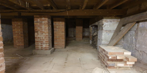
Why have a cellar?
Having a cellar was actually quite an expensive and a time consuming affair. Most people didn't. There was no point unless there was something to store or servants to hide. 

Build a cellar. 
May houses were built on shallow foundations, these can be researched online, with the different types of pillars and rafts. 
The thing that took the longest was the limewash and allowing that to set. 

Searching the database. 
 go to https://www.chichester.gov.uk/planning then select planning applications
View planning applications
That should give you a page similar to the one on screen. 


There are numerous search options from simple, advanced to a method only those from Aplha Centauri might understand.

For example to search a rough area we would select the map view and zoom in. 
Its fine to look for recent applications but if you wanted to search all applications on the system going back 5 years, it gets very complicated (messy) and hard to select the actual application you want.
Clicking a property brings up a little box you can scroll through to find anything of interest BUT lets go back to simple search and select a property.

we know the address of 5 tower street, the system will however show any matching tower street, Selsey, Midhurst or Aplha Centauri 
This is entered in the multi search box at the bottom of the page.


Chase cottage, this is the property we are going to be looking at. Note we do not have, nor need the owners permission to look at these documents. They are in the public realm, else we might never be able to know if they wanted to knock down the Church of the Holy Trinity, and build the new bus station there or what it would even look like. 

List of planning applications with  summary:
The simple search brings up a clearer list with a brief summary of the application that is easier to read, remember it brings up all matching properties from all over west sussex

Summary view of one application,
selecting one shows us more details, in this case. use of ancillary building for B1 use. 
[(c)for any industrial process, being a use which can be carried out in any residential area without detriment to the amenity of that area by reason of noise, vibration, smell, fumes, smoke, soot, ash, dust or grit.]


Related:
We can do a sneaky trick to save searching through the many pages of entries, if we select [related] and then select properties, we can highlight the actual property what ever its name or number and only that one. 

There we will see that this property has 14 planning history items, 12 planning applications. The other 2 may be tree works or something outside the realms of normal planning - like displaying flags.

Selecting one that looks interesting, single story extension, refurbishment and extension of cellars. As obviously all tunnels are underground at cellar level aren't they !! except for the buttery where the cellar is above ground...

if we select the documents page we will see there are 25 documents. most we can ignore, like letters from the parish council, there are a lot of "substitute plans" meaning they went back to the drawing board. Let us look for the ones that are the basement or likely to include the basement. that's plans elevations, applications etc. 
 

Random articles of interest

It was under the Crypt and right next to the cathedral

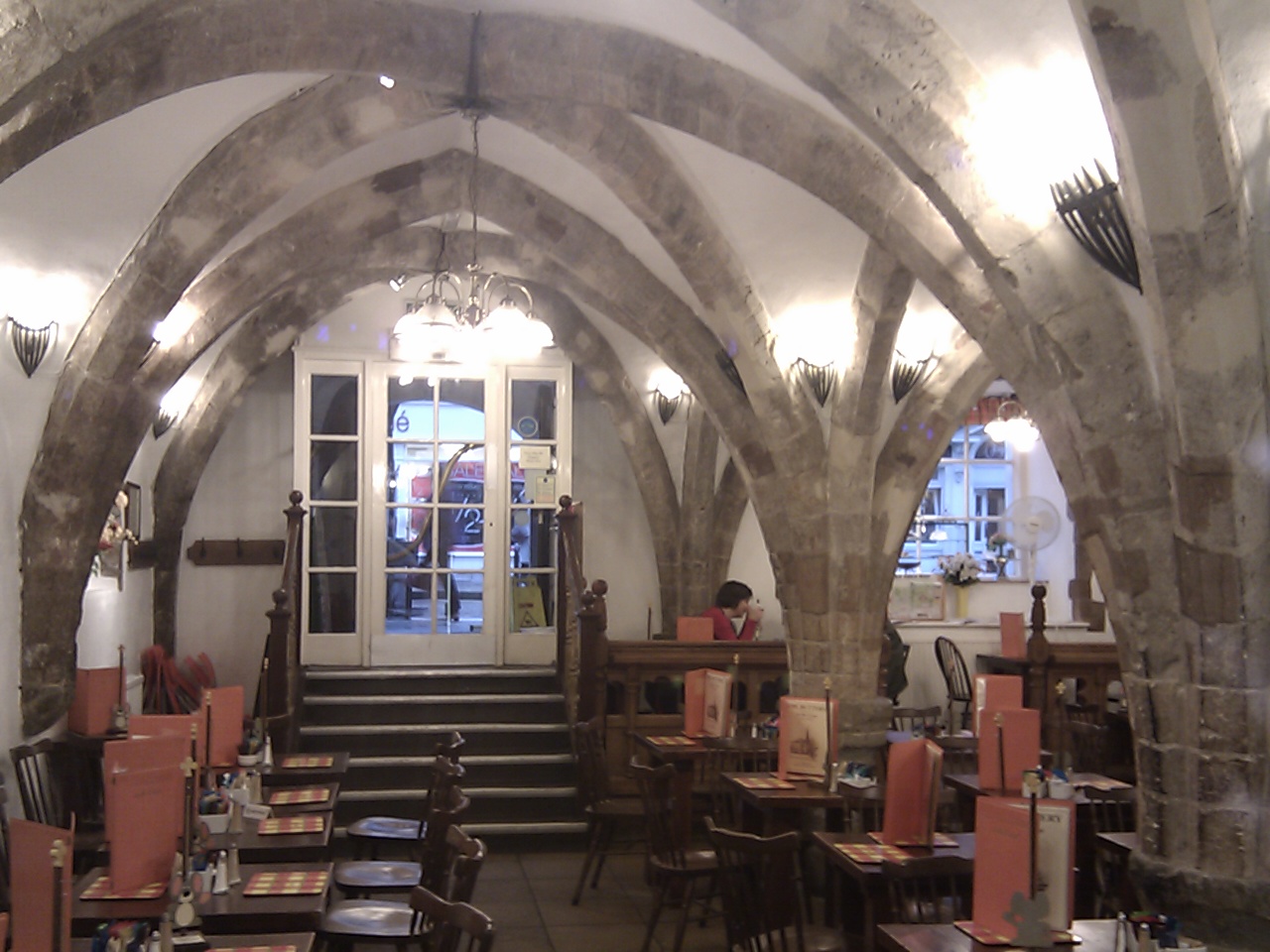
inside buttery

Maureen Williams, 82, of Westgate, recalled a school trip into the rumoured tunnels under Chichester when she was at Chichester High School for Girls.


She estimates she was in her early teens at the time and said she chose to share her memories after reading about the search for evidence in this newspaper.

Read more: It was under the Crypt and right next to the cathedral

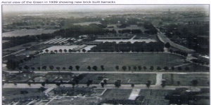
An Archaeological Evaluation at Roussillon Barracks

An Archaeological Evaluation atRoussillon Barracks Chichester, West Sussex


Planning Reference No: CC/10/03490/FUL Phases 1a & 1b Project No: 4861 Site Code: RBC 11ASE Report No: 2011128 OASIS id: archaeol6-102472 By Diccon HartWith contributions by Sarah Porteus Illustrations by Fiona GriffinJune 2011


Summersdale FOOTBALL FIELD SURPRISE

FOOTBALL FIELD SURPRISE.

A singular happening lay behind the prosaic news on saturday that the
chuichester and District League football fixture, Summersadale VS Boxgrove, had o be postponed
owing to the ground on this hill suburb of Chichester being unfit.

Read more: Summersdale FOOTBALL FIELD SURPRISE

Doline – Chichester To Westbourne

Doline  – Chichester To Westbourne

doline

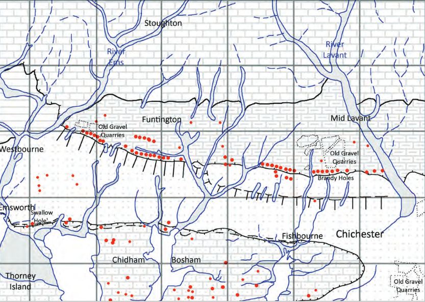
 Brandy Hole Lane, East Broyle Copse area in the northwest part of Chichester. A well-developed doline line extends east-west across the area to the north of Brandy Hole Lane, along the underlying Chalk-Reading Beds boundary.


The Environment Agency has made 1m-resolution LIDAR imagery coverage for large areas of England and Wales freely available on the internet under Open Government Licence (www.lidarfinder.com).

Read more: Doline – Chichester To Westbourne

researching properties using the council planning system

An introduction to researching properties

peterborough tunnels

One of the most common questions I’m asked about Peterborough’s history is whether there are any tunnels under the city. Local legends say that there is a tunnel stretching from the Cathedral to Monk’s Cave at Longthorpe. Similar tunnels are alleged to stretch from the Cathedral to the abbeys at Thorney or Crowland.


These are familiar myths in many historic cities across the UK, mostly urban legends based on half remembrances of sewers, cellars or crawlspaces, coupled with wishful thinking and rumour.


The stories of tunnels from Peterborough to

Read more: peterborough tunnels

Graylingwell Heritage Project

 'Graylingwell Heritage Project', 'graylingwell-heritage-project', '

BENEATH THE WATER TOWER

The Graylingwell Heritage Project has been a community based heritage and arts programme located in Chichester, West Sussex.

The original Victorian buildings had a central boiler house with the water tower which is, after the Cathedral spire, by far the tallest building in Chichester. And if you go up to the Trundle and look down on Chichester, the only two buildings you can see are the Cathedral spire and the Graylingwell water tower.

Read more: Graylingwell Heritage Project

27 East street

MB
My mum worked 27 east street and when it flooded in the 90s they found a big cellar and you could look down into an area which was like a tunnel

Chichester Culverts

We do not suggest going into the culverts.
These are not classified as tunnels and can be dangerous

 video of culverts/storm drains/winterbourne route


Map of Chichester showing Rivers


www.streetmap.co.uk\\/map.srf?x=486359&y=104953&z=120&sv=chichester&st=3&tl=Map%20of%20Chichester%2C%20West%20Sussex%20[City%2FLarge%20Town]&searchp=ids.srf&mapp=map.srf&fbclid=IwAR2IV7YUeQ8u_GBTHRE24fSpUvVRwu5CpZxdPt1fs_injtw73WMxXbTQ25s

More In Articles