Random articles of interest
Architects concept plan - Graylingwell aerial designers dream
architects concept plan - graylingwell aerial designers dream. This vision is far from reality and some say even mention the trades description act.
st johns church
About 50 years ago in the vestry of St. John’s Church In Chichester a flag stone was taken up by some teenagers and a tunnel was revealed. Apparently it runs along under St Johns Street in a south / north direction
.MS
Chichester Culverts
We do not suggest going into the culverts.
These are not classified as tunnels and can be dangerous
video of culverts/storm drains/winterbourne route
Map of Chichester showing Rivers
www.streetmap.co.uk\\/map.srf?x=486359&y=104953&z=120&sv=chichester&st=3&tl=Map%20of%20Chichester%2C%20West%20Sussex%20[City%2FLarge%20Town]&searchp=ids.srf&mapp=map.srf&fbclid=IwAR2IV7YUeQ8u_GBTHRE24fSpUvVRwu5CpZxdPt1fs_injtw73WMxXbTQ25s
Brandy Hole caving session

From trying to locate the areas marked on the old maps as smugglers or roman caves at the approc following locations. Our team tried to take photos as best we could.
su 85228 06608 50.8527, -0.7906
su 85255 06596 50.8526, -0.7902
su 85249 06577 50.8524, -0.7903
su 85248 06565 50.8523, -0.7903
su 85329 06661 50.8532, -0.7892
su 85359 06657 50.8531, -0.7887


Why build a cellar

First, there are no maps in the presentation to hidden tunnels , all information is in the public domain and if we get distracted during our searches that is only natural.
I will try and make this as interesting as possible and we will not be getting our boots dirty.
Why have a cellar?
Having a cellar was actually quite an expensive and a time consuming affair. Most people didn't. There was no point unless there was something to store or servants to hide.
where are the tunnels?

Are you curious about the tunnels in Chichester? If you are, you are not alone. Many people have wondered about the existence and purpose of these underground passages that are said to run under the city. Some claim they have seen them, others have heard stories about them, but what is the truth behind the mystery?
In this blog post, I will try to shed some light on the tunnels in Chichester, based on some web searches and historical sources. I will also share some of the rumours and legends that surround them, and invite you to share your own experiences or opinions in the comments section.
What are the tunnels in Chichester?
It was under the Crypt and right next to the cathedral

Maureen Williams, 82, of Westgate, recalled a school trip into the rumoured tunnels under Chichester when she was at Chichester High School for Girls.
She estimates she was in her early teens at the time and said she chose to share her memories after reading about the search for evidence in this newspaper.
The Punch house
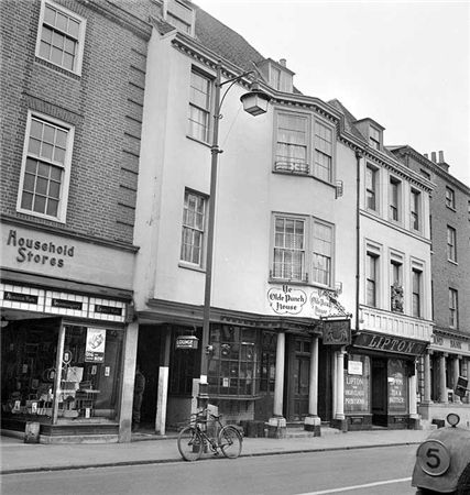
ON THE south side of East Street, close to the Market Cross, lies number 92 which up until fairly recently was The Royal Arms public house (also known as Ye Olde Punch House).
Although the façade dates to the Georgian era, the building is of a timber-framed construction said to date from the 16th century.
Much of the original building survives including highly decorated plaster ceilings displaying the Tudor Rose and fleur-de-lis.
It was once a private town house belonging to the Lumley family of Stansted.
Russilon Barracks

The Chichester SMR holds information for 48 sites, whilst the National Monuments Record
Centre holds details of a further 16 sites within the study area. An additional four sites were
located through analysis of historic mapping and during the course of the walkover survey and
one from aerial photographs. Full site descriptions and locations can be seen in Appendix B.
Within the report, the bracketed numbers after site descriptions relate to those allocated to
individual sites in Appendix B and on Figure 2.

First, there are no maps in the presentation to hidden tunnels , all information is in the public do...

Are you curious about the tunnels in Chichester? If you are, you are not alone. Many people have won...

Borehole drilling is a technique that allows you to access underground water sources by creating a d...

AArc141/14/EVAL Roussillon Park, Broyle Road, Chichester, West Sussex, PO19 BBL
Sporadic finds repr...

A number of those readers remembered a story about tunnels underneath Hansford Menswear, also in Sou...

Maureen Williams, 82, of Westgate, recalled a school trip into the rumoured tunnels under Chichester...

An introduction to researching properties
{youtube}R3F2rWapKzw{/youtube}


architects concept plan - graylingwell aerial designers dream. This vision is far from reality and s...

Maureen Williams, 82, of Westgate, recalled a school trip into the rumoured tunnels under Chichester...
More In Articles

