Powered by Phoca Gallery

Borehole drilling is a technique that allows you to access underground water sources by creating a deep and narrow hole in the ground. In this blog post, we will explain what borehole drilling is, how it works, and what are its benefits and challenges.
What is borehole drilling?
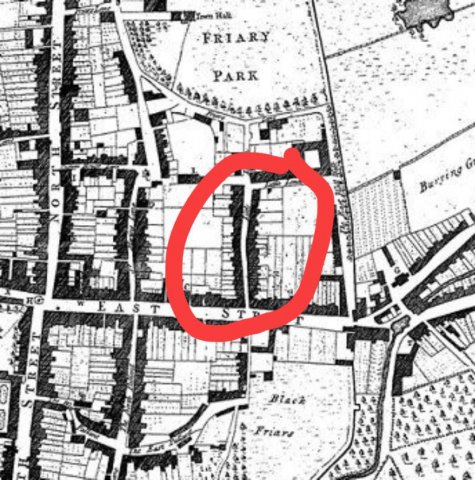
About 50 years ago in the vestry of St. John’s Church In Chichester a flag stone was taken up by some teenagers and a tunnel was revealed. Apparently it runs along under St Johns Street in a south / north direction
.MS
Max T
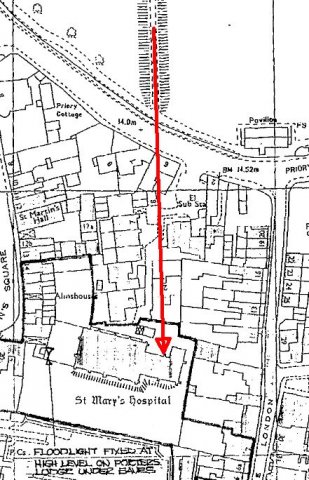
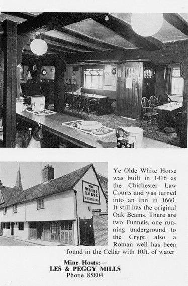
I recall that there is a short length of tunnel (blocked off at both ends) under the old White Horse pub in South St. (now Prezzo restaurant, since 2005). Story in the pub was that it was part of a tunnel running from the Cathedral up to the Guildhall in Priory Park. Although the tunnel is there, I was never sure of its true purpose or the truth of its start / finish. Thought that it was worth mentioning it on here though.
'
Summersdale is an attractive area in the north of Chichester. Spacious
and leafy, the character of the area is now under threat with many houses
on large plots at risk of demolition and re-development. It is an historic
suburb with high quality architecture in street scenes that are worthy of
enlightened protection.
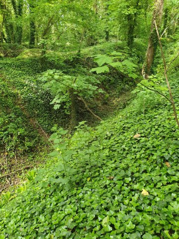
video of culverts/storm drains/winterbourne route
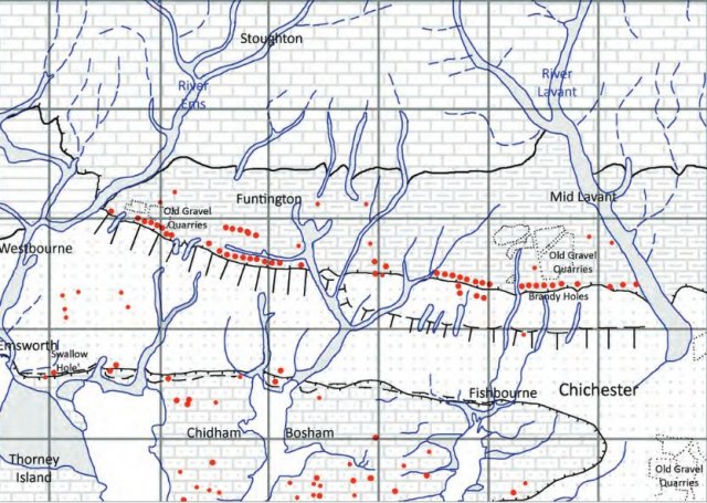
Map of Chichester showing Rivers
www.streetmap.co.uk\\/map.srf?x=486359&y=104953&z=120&sv=chichester&st=3&tl=Map%20of%20Chichester%2C%20West%20Sussex%20[City%2FLarge%20Town]&searchp=ids.srf&mapp=map.srf&fbclid=IwAR2IV7YUeQ8u_GBTHRE24fSpUvVRwu5CpZxdPt1fs_injtw73WMxXbTQ25s
Between The Drive’s western and southern ends, Charles Stride built a private estate in c.1905 which included a nine hole golf course designed by James Braid, a lodge (Uplands), and a mansion (Woodland Place) with tree-lined grounds which, as Rew Lane, was developed in the late 1950s. The golf course was too close to the Goodwood course to be a commercial success and it was given up for gravel extraction immediately prior to the first World War, with a mineral branch line connected later to the Chichester-Midhurst railway.
His golf course and pavilion is mentioned in https://golfsmissinglinks.co.uk/index.php/england/south-east/sussex/851-sus-summersdale-golf-club-chichester
The club was founded in 1904.
Graylingwell plan with well and springs ponds.

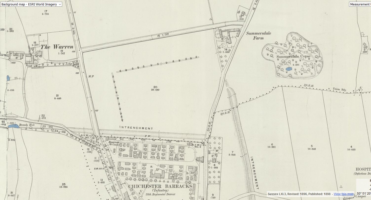
AArc141/14/EVAL Roussillon Park, Broyle Road, Chichester, West Sussex, PO19 BBL
Sporadic finds represent the early prehistoric period in the vicinity of the Project Site, with
the discovery of Palaeolithic axe in a garden on Brandy Hole Lane (c. 600m to the NW)
and a Neolithic stone axe, in the vicinity of Spitalfield Lane, over 1km to the SE (Lee 2008:
9).
Bronze Age activity has been recorded c. 500m to the east of the site, in the vicinity of
Garyiingwell Hospital, where evidence for settlement was identified along with remains of
six cremation burials (Lee 2008: 9).


