A number of those readers remembered a story about tunnels underneath Hansford Menswear, also in South Street, so we spoke the shop''s owner to find out more. Matthew Hansford described a blocked-off passage in cellar of the shop, which he believes may have led to the cathedral
In the 1970s the passageway was open and was once used by burglars who used the route to break-in to the shop and make off with a number of sheepskin coats.
Matthew said: "I think [the burglary] was before I was here, in the 70s, but the tunnel has been breeze-blocked up now. It is probably as much hearsay as anything else but as far as I know it was built to link the cathedral to the shop.
"The shop used to house the vicars and people who worked at the cathedral but I haven''t been down there because it is breeze-blocked up. "All I have been told is that originally the priests, or whoever, used to go underground but I''m not sure if there is just one tunnel or several."
Amateur investigators are also looking into the reported tunnels which are different the river Lavant culverts.
If you have any information about possible tunnels under the city, get in touch:
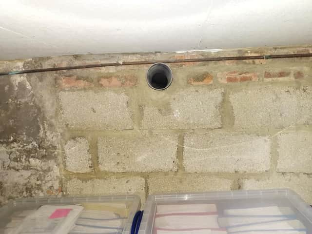
MB My mum worked 27 east street and when it flooded in the 90s they found a big cellar and you could look down into an area which was like a tunnel
Summersdale FOOTBALL FIELD SURPRISE
FOOTBALL FIELD SURPRISE.
A singular happening lay behind the prosaic news on saturday that the chuichester and District League football fixture, Summersadale VS Boxgrove, had o be postponed owing to the ground on this hill suburb of Chichester being unfit.
researching properties using the council planning system
An introduction to researching properties
It was under the Crypt and right next to the cathedral
Maureen Williams, 82, of Westgate, recalled a school trip into the rumoured tunnels under Chichester when she was at Chichester High School for Girls.
She estimates she was in her early teens at the time and said she chose to share her memories after reading about the search for evidence in this newspaper.
About 50 years ago in the vestry of St. John’s Church In Chichester a flag stone was taken up by some teenagers and a tunnel was revealed. Apparently it runs along under St Johns Street in a south / north direction
The Chichester SMR holds information for 48 sites, whilst the National Monuments Record Centre holds details of a further 16 sites within the study area. An additional four sites were located through analysis of historic mapping and during the course of the walkover survey and one from aerial photographs. Full site descriptions and locations can be seen in Appendix B. Within the report, the bracketed numbers after site descriptions relate to those allocated to individual sites in Appendix B and on Figure 2.
Brandy Hole Lane, East Broyle Copse area in the northwest part of Chichester. A well-developed doline line extends east-west across the area to the north of Brandy Hole Lane, along the underlying Chalk-Reading Beds boundary.
The Environment Agency has made 1m-resolution LIDAR imagery coverage for large areas of England and Wales freely available on the internet under Open Government Licence (www.lidarfinder.com).


