First, there are no maps in the presentation to hidden tunnels , all information is in the public domain and if we get distracted during our searches that is only natural.
I will try and make this as interesting as possible and we will not be getting our boots dirty.
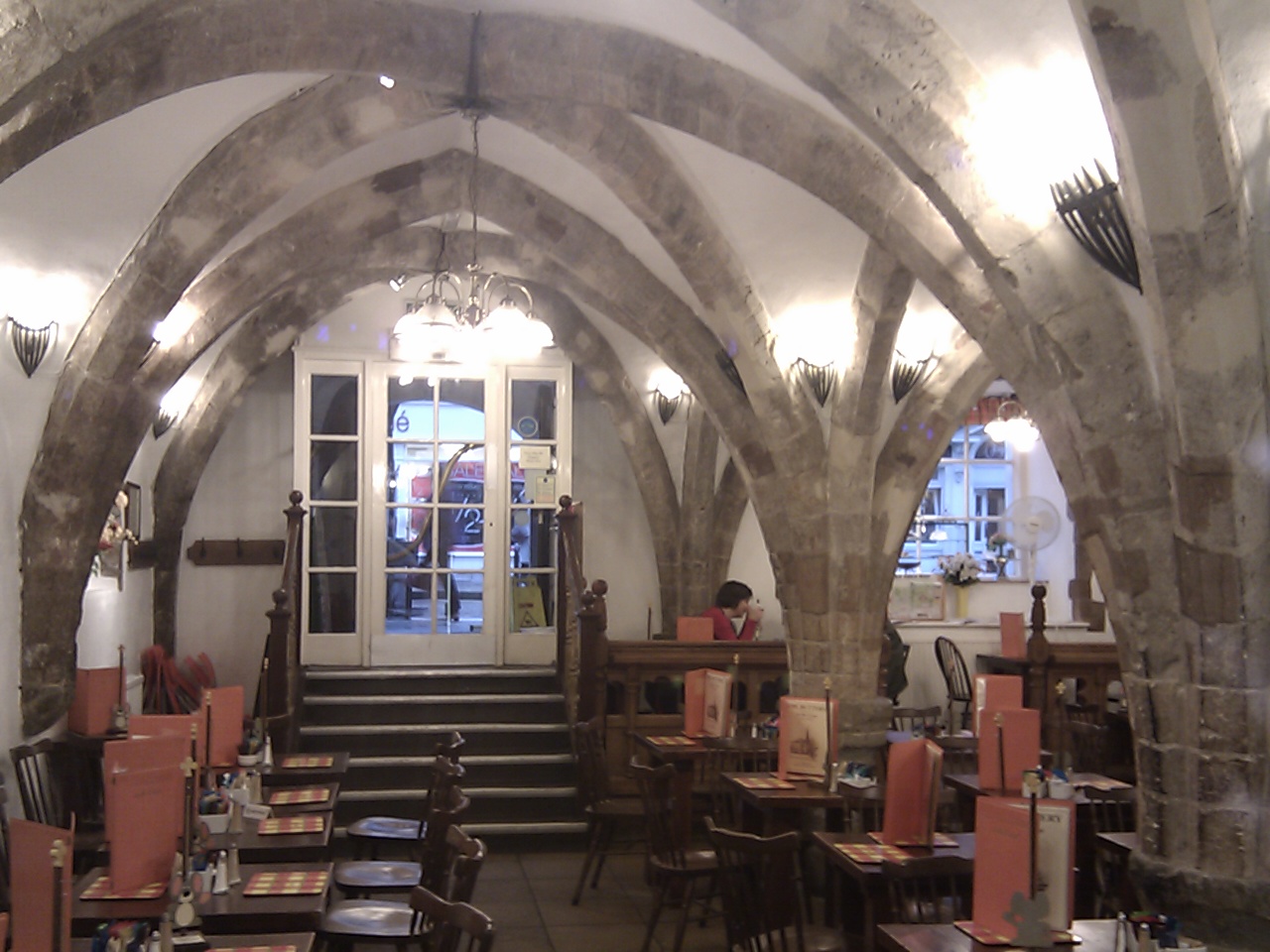
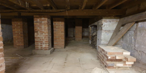
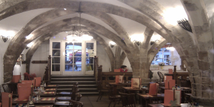
Why have a cellar?
Having a cellar was actually quite an expensive and a time consuming affair. Most people didn't. There was no point unless there was something to store or servants to hide.

Are you curious about the tunnels in Chichester? If you are, you are not alone. Many people have wondered about the existence and purpose of these underground passages that are said to run under the city. Some claim they have seen them, others have heard stories about them, but what is the truth behind the mystery?
In this blog post, I will try to shed some light on the tunnels in Chichester, based on some web searches and historical sources. I will also share some of the rumours and legends that surround them, and invite you to share your own experiences or opinions in the comments section.
What are the tunnels in Chichester?
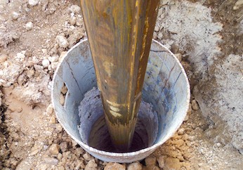
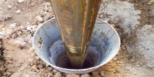
Borehole drilling is a technique that allows you to access underground water sources by creating a deep and narrow hole in the ground. In this blog post, we will explain what borehole drilling is, how it works, and what are its benefits and challenges.
What is borehole drilling?
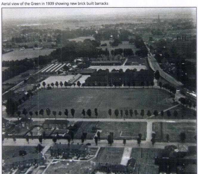
AArc141/14/EVAL Roussillon Park, Broyle Road, Chichester, West Sussex, PO19 BBL
Sporadic finds represent the early prehistoric period in the vicinity of the Project Site, with
the discovery of Palaeolithic axe in a garden on Brandy Hole Lane (c. 600m to the NW)
and a Neolithic stone axe, in the vicinity of Spitalfield Lane, over 1km to the SE (Lee 2008:
9).
Bronze Age activity has been recorded c. 500m to the east of the site, in the vicinity of
Garyiingwell Hospital, where evidence for settlement was identified along with remains of
six cremation burials (Lee 2008: 9).
Read more: ABSOLUTE ARCHAEOLOGY Rousillonn Barracks Evaluation
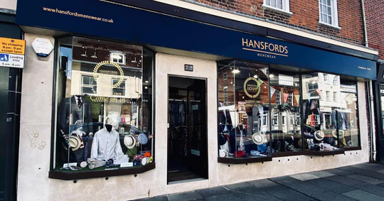
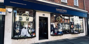
A number of those readers remembered a story about tunnels underneath Hansford Menswear, also in South Street, so we spoke the shop''s owner to find out more.
Matthew Hansford described a blocked-off passage in cellar of the shop, which he believes may have led to the cathedral
