Random articles of interest
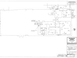
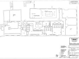
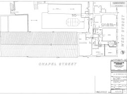
An Archaeological Evaluation at Roussillon Barracks
An Archaeological Evaluation atRoussillon Barracks Chichester, West Sussex
Planning Reference No: CC/10/03490/FUL Phases 1a & 1b Project No: 4861 Site Code: RBC 11ASE Report No: 2011128 OASIS id: archaeol6-102472 By Diccon HartWith contributions by Sarah Porteus Illustrations by Fiona GriffinJune 2011
ABSOLUTE ARCHAEOLOGY Rousillonn Barracks Evaluation
AArc141/14/EVAL Roussillon Park, Broyle Road, Chichester, West Sussex, PO19 BBL
Sporadic finds represent the early prehistoric period in the vicinity of the Project Site, with
the discovery of Palaeolithic axe in a garden on Brandy Hole Lane (c. 600m to the NW)
and a Neolithic stone axe, in the vicinity of Spitalfield Lane, over 1km to the SE (Lee 2008:
9).
Bronze Age activity has been recorded c. 500m to the east of the site, in the vicinity of
Garyiingwell Hospital, where evidence for settlement was identified along with remains of
six cremation burials (Lee 2008: 9).
Architects concept plan - Graylingwell aerial designers dream
architects concept plan - graylingwell aerial designers dream. This vision is far from reality and some say even mention the trades description act.
st johns church
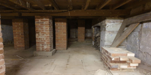
About 50 years ago in the vestry of St. John’s Church In Chichester a flag stone was taken up by some teenagers and a tunnel was revealed. Apparently it runs along under St Johns Street in a south / north direction
.MS
65 East Street
DD
I worked at 65 East Street when it was ''Hammick''s Bookshop'' (now Specsavers). We had a trapdoor in the middle of the floor that led down to a tunnel-shaped cellar that seemed to extend through the front of the shop and under the pavement outside. I didn''t see any evidence of it ever having joined another tunnel and imagine that perhaps there was once an opening in the pavement for deliveries.
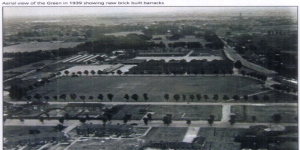
Russilon Barracks

The Chichester SMR holds information for 48 sites, whilst the National Monuments Record
Centre holds details of a further 16 sites within the study area. An additional four sites were
located through analysis of historic mapping and during the course of the walkover survey and
one from aerial photographs. Full site descriptions and locations can be seen in Appendix B.
Within the report, the bracketed numbers after site descriptions relate to those allocated to
individual sites in Appendix B and on Figure 2.
whyke lodge
Summersdale Neighbourhood Character Appraisal
'
Summersdale is an attractive area in the north of Chichester. Spacious
and leafy, the character of the area is now under threat with many houses
on large plots at risk of demolition and re-development. It is an historic
suburb with high quality architecture in street scenes that are worthy of
enlightened protection.
Graylingwell Heritage Project
'Graylingwell Heritage Project', 'graylingwell-heritage-project', '
BENEATH THE WATER TOWER
The Graylingwell Heritage Project has been a community based heritage and arts programme located in Chichester, West Sussex.
The original Victorian buildings had a central boiler house with the water tower which is, after the Cathedral spire, by far the tallest building in Chichester. And if you go up to the Trundle and look down on Chichester, the only two buildings you can see are the Cathedral spire and the Graylingwell water tower.
