'
Summersdale is an attractive area in the north of Chichester. Spacious
and leafy, the character of the area is now under threat with many houses
on large plots at risk of demolition and re-development. It is an historic
suburb with high quality architecture in street scenes that are worthy of
enlightened protection.
This Appraisal, written in conjunction with the Chichester City Planning &
Conservation Committee, was limited to the oldest properties and roads in
the suburb. It describes the history and distinctive visual character of the
neighbourhood, and provides a framework for limited and sensitive
development, while protecting the long established character and heritage
of the area.
A case is made for either an appropriate Conservation policy, or a
comprehensive Local Listing of buildings ‘the character and appearance of
which it is desirable to preserve or enhance’ (PPG15).
It also makes a strong case against demolition, and puts quality well
before quantity in any re-development. There are no current opportunities
for large scale development in the prescribed area and few, if any, for
appropriate infill re-development. The area needs no re-generation per se,
and the local demand for other than established family homes should be
easily absorbed by the large residential developments nearby at
Graylingwell Hospital and the Roussillon Barracks.
***
This appraisal was adopted by Chichester City Council at its meeting on 9
July 2008, and will now go forward as an Annexe to the Chichester Town
Plan Document adopted by the City Council on 7 September 2005.
Summersdale Neighbourhood Character Appraisal
Objectives
Summersdale is a very attractive area of northern Chichester,
immediately north of the City’s Conservation Area. its early buildings are
of late Victorian origin but Edwardian-style architecture and features.
Spacious and leafy, the character of the area is now under threat with
many of the houses, on plots large by today’s standards, at risk of
demolition and re-development. It is an historic suburb, with a coherence
and identity worthy of respect and enlightened protection. It has proved
to be a sustainable and pleasant place in which to live.
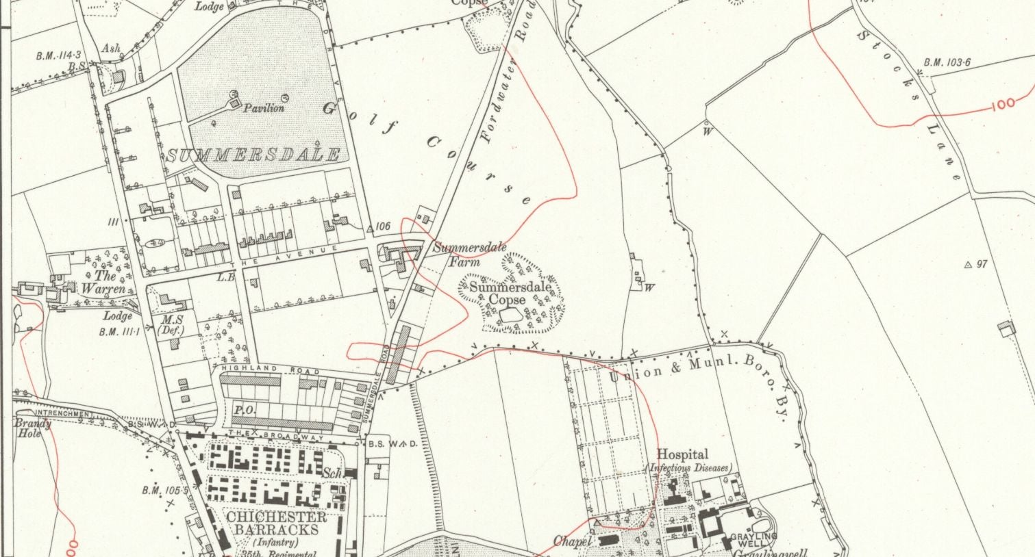
The historic core of the suburb, and the focus of this Appraisal, consists of
the four roads in the original Summersdale Estate, The Avenue, Highland
Road, The Broadway and Summersdale Road, together with The Drive,
Lavant Road, Rew Lane and Brandy Hole Lane. in general, the Appraisal
will only concern developments prior to 1970.
To guide future planning applications, the Appraisal sets out the type and
form of development that might be considered acceptable on individual
sites. It has three objectives:
* To describe the distinctive visual character of the neighbourhood, its
surrounding setting and the elements that comprise its built form
and open spaces.
To inform and involve the local community and landowners and to
give them a chance to influence future development of individual
sites; and
To provide a framework for developers who may be interested in
such sites.
The aim of the Appraisal is to act as a material consideration in the
determination of planning applications for re-development of residential
properties, but not to require it to go through the process for adoption as
a Supplementary Planning Document. The weight it might be given at any
Appeal will in the end be judged by how clearly it describes the settlement
character and the design guidance thought necessary to protect its
character. It should be compatible with the statutory planning system and
its local application, but it will be about managing change, not preventing
it.


