History
Summersdale — A tale of two farms
At his death in 1244 Bishop Ralph Neville gave ‘Hauedstoke and
Sumeresdale.... for ever to my church of Chichester and my successors,
Bishops of Chichester.’ He also gave his lands at ‘Graveling Wells’ (now
Graylingwell) to the church at Chichester. The Broyle lands were
subsequently divided into large and small farming units and leased out. The
Broyles and the parts which became Summersdale and Warren Farms were
parcelled together and belonged to the Church of England from the middle of
the 13”‘ Century until late in the 19th. The lands remained unmolested as
bishopric land throughout the Reformation and the suppression of
monasteries, throughout the grabbing of lands by unscrupulous lords under
Edward VI, and throughout the reign of Elizabeth I who seized land with little
excuse and took eight of the Bishop’s 13 manors; they also survived the
Civil War intact. After the Restoration of the monarchy in 1660 the lands
were leased, tenanted and managed by a succession of yeoman farmers at
both Summersdale and Old Broyle Farms; the latter including the 67 acres
that became Warren Farm in 1811.
Before 1900 the residential area known as Summersdale did not exist. The
only buildings north of the Roussillon Barracks were those on the
Summersdale and Warren Farms, each with a boundary on the Lavant Road.
The Ecclesiastical Commissioners assumed ownership of both farms on the
death of Bishop Ashurst Turner, Bishop of Chichester, in 1870.
Summersdale Farmhouse (now Summersdale House) is the oldest habitable
property in the area, first appearing on the Tithe Map of 1846-7 when a Mr
M Hackett leased 129 acres from the Bishop, and his family lived in the
house. Its footprint on the Tithe Map is consistent with that of the house
today. The last tenant of the farm was unable to pay his way and after his
death in 1894, Mr Charles Stride bought the buildings and lands from the
Ecclesiastical Commissioners for £8,000. The land was bounded to the north
and east by Hackett’s Rew, the River Lavant, and Graylingwell, and to the
south and west by The Broadway and Lavant Road.
Mr Stride, a partner in a local firm of Auctioneers and Estate Agents, quickly
developed the southern portion as The Summersdale Estate based upon four
roads. The development was set out in hierarchical fashion off straight
streets with space between houses or groups, and ample gardens. Though
some houses were independent villas, standard semi-detached houses in
rows were common.
The Avenue was intended for doctors, solicitors, senior officers of the Army
and Navy and the like, with 13 large Edwardian Houses on its north side
completed by 1911. Highland Road was intended for Chichester
4
shopkeepers, while smaller but well-built houses on Summersdale Road and
The Broadway for working classes were completed by 1903. The roads and
layouts remain unchanged and now form a fundamental part of
Summersdale’s heritage as a truly historic suburb.
in early street directories the original four roads were listed collectively as
The Summersdale Estate rather than alphabetically. It was not until 1929
that these and other local roads were listed amid the rest of the Chichester
area, thereby acknowledging that the estate created by Charles Stride was
no longer remote from the City, but a suburb of it.
To the east of the Lavant Road the residential area on Stride’s land grew
organically in response to housing demand over the next half century.
Random articles of interest
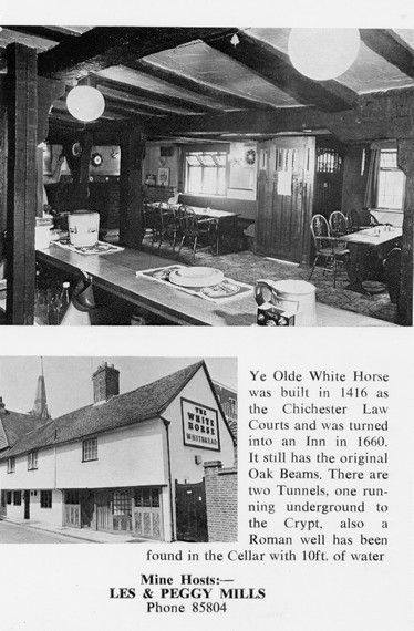
White Horse / Prezzo
Max T
I recall that there is a short length of tunnel (blocked off at both ends) under the old White Horse pub in South St. (now Prezzo restaurant, since 2005). Story in the pub was that it was part of a tunnel running from the Cathedral up to the Guildhall in Priory Park. Although the tunnel is there, I was never sure of its true purpose or the truth of its start / finish. Thought that it was worth mentioning it on here though.
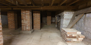
building a cellar
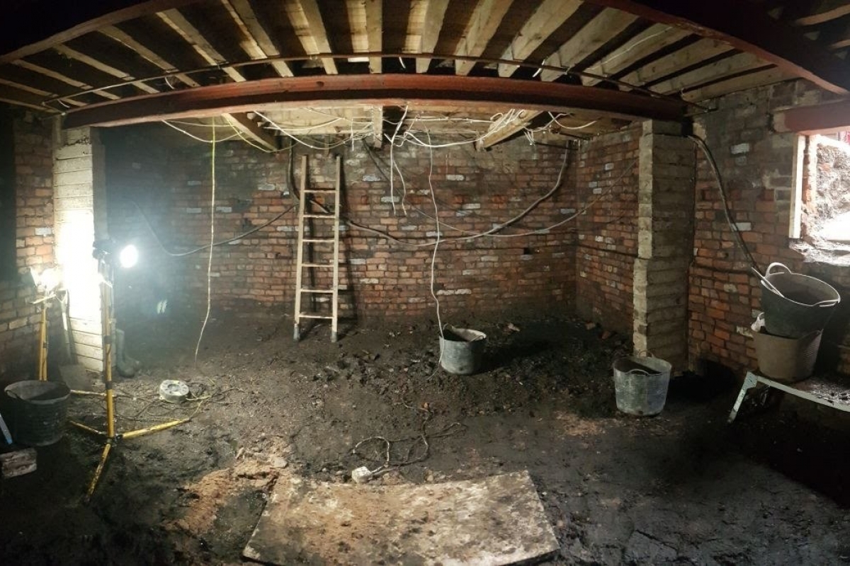
Historically, to build a house with a simple cellar you would dig out the ground to a depth of around 6ft, the cellar walls would have been constructed with a lining of stone or brick and with a drain for water within the cellar. The floors would have been built up on crushed stone or sand to provide a level surface and paved, usually with flags. Brick paving became more common in later periods.
where are the tunnels?

Are you curious about the tunnels in Chichester? If you are, you are not alone. Many people have wondered about the existence and purpose of these underground passages that are said to run under the city. Some claim they have seen them, others have heard stories about them, but what is the truth behind the mystery?
In this blog post, I will try to shed some light on the tunnels in Chichester, based on some web searches and historical sources. I will also share some of the rumours and legends that surround them, and invite you to share your own experiences or opinions in the comments section.
What are the tunnels in Chichester?
Architects concept plan - Graylingwell aerial designers dream
architects concept plan - graylingwell aerial designers dream. This vision is far from reality and some say even mention the trades description act.
Read more: Architects concept plan - Graylingwell aerial designers dream
whyke lodge
Underneath Hansford Menswear

A number of those readers remembered a story about tunnels underneath Hansford Menswear, also in South Street, so we spoke the shop''s owner to find out more.
Matthew Hansford described a blocked-off passage in cellar of the shop, which he believes may have led to the cathedral
Summersdale FOOTBALL FIELD SURPRISE
FOOTBALL FIELD SURPRISE.
A singular happening lay behind the prosaic news on saturday that the
chuichester and District League football fixture, Summersadale VS Boxgrove, had o be postponed
owing to the ground on this hill suburb of Chichester being unfit.
Graylingwell plan with well and springs ponds
Graylingwell plan with well and springs ponds.
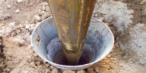
Borehole drilling
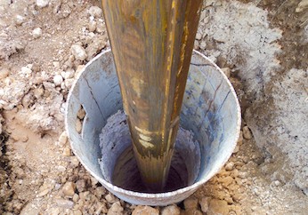
Borehole drilling is a technique that allows you to access underground water sources by creating a deep and narrow hole in the ground. In this blog post, we will explain what borehole drilling is, how it works, and what are its benefits and challenges.
What is borehole drilling?
