This Appraisal excludes treatment of land to the North East of Chichester
which lies broadly between Chichester and the Goodwood motor racing
circuit and airfield. The site has so far been discounted in the DDO
document as a future greenfield option for large-scale mixed use
development embracing sites on both sides of the River Lavant floodplain.
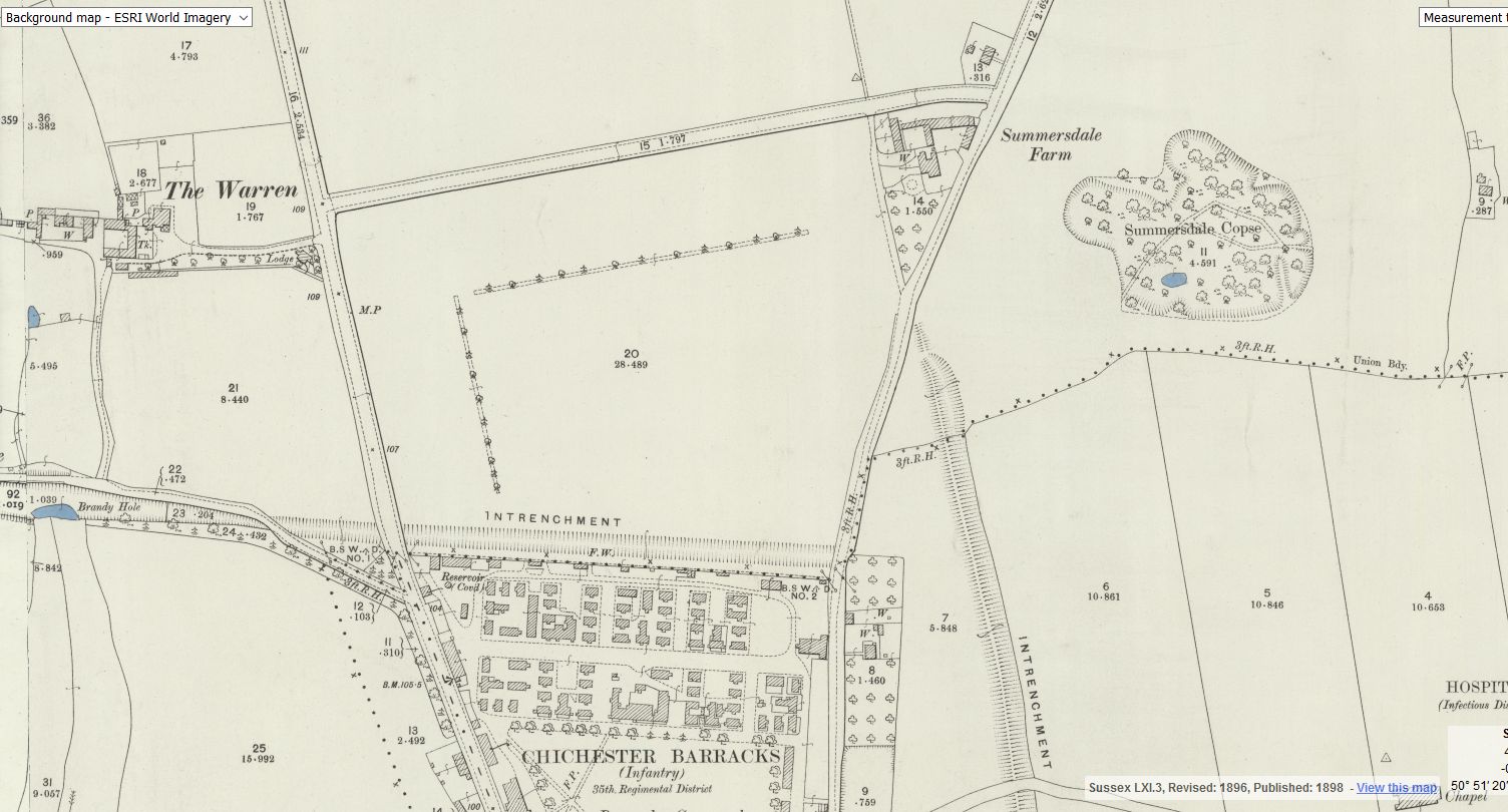
The larger eastern site could be considered too distant from the existing
built up area of the City (and Summersdale), but development on the
smaller western site could become an extension to the adjacent
Graylingwell area, much of which is protected as a Conservation Area.
The Bottom Line
In principle, demolition within the historic suburb of Summersdale should
be resisted. If, after careful scrutiny, it becomes inevitable, the density of
re-development should not be sufficient to alter the character of the area
in which it is set, while the spaces between buildings should be such that
the buildings are set in their landscape environment. Roofs should
generally be pitched, in harmony and proportion with those of their
neighbours. The re-development should not destroy the harmony of long
established street scenes. Quality of design must always prevail over
quantity, irrespective of the higher density requirements of PPS3. If one-
for-one replacement cannot be justified, the case should always be made
for the lowest possible increase in density to safeguard street scene
harmony.
With any re-development, the character of the area demands a
presumption against replacement of two or more buildings and the
intervening space with much bulkier structures. (This feature was
discussed and soundly rejected during the recent Sunrise application and
Appeal).
18
Conclusions
The Case for Protection
Aesthetic comment is subjective, in the eye of the beholder. Many hold
the view that architecture in older Summersdale stands comparison with
much that has been accepted in the extended Chichester City
Conservation Area, but without the corresponding protection. This
Appraisal describes and illustrates an ‘area of special architectural and
historic interest the character or appearance of which it is desirable to
preserve or enhance.’ (PPG15)
The supporting documents by English Heritage provide guidance for
conserving and enhancing the character and identity of historic suburbs,
and the need to underpin the nature of the area with a long-term strategic
planning approach developed with Community involvement. This Appraisal
accords with that need.
Many of the buildings, both Edwardian and Arts & Crafts, remain in
original form, and the leafy street scenes are both original and delightful.
Traditional eclectic Edwardian architecture stands proud, and though not
as old as much of that in Chichester City, it will get no older if demolished.
The age gap between the younger buildings included in the Chichester
Conservation Area (Wooburn Villas 1894) and the oldest Edwardian
buildings in Summersdale (1901) is a mere seven years, and yet
Summersdale has so far been accorded no protection. Early progress in
updating the Local Listing would bridge the gap for those buildings which
make a positive contribution to the character of the area. An extension of
the Chichester Conservation Area into parts of Summersdale should also
be considered — for such as Lavant Road, The Avenue, Summersdale
Road, Highland Road and The Broadway,
Of paramount importance is that demolition of historic and notable
properties should be resisted and closely scrutinised for more desirable
alternatives. Local history once destroyed can never be restored; erosion
is irreversible. A policy of enlightened protection is needed to resist
piecemeal or minor alterations before they have a cumulative adverse
effect on the character and appearance of the street scene. Powers exist
for the District Council to withdraw specific development rights in the
interests of preserving and enhancing character and appearance (PPG15).
ln Summersdale there is a high survival of original detailing, original tiled
roofs, fenestration, panelled doors and so on. If Local Listing is ineffective,
permitted development rights could be withdrawn for some of the
‘unlisted’ family dwellings which have not already been adversely affected.
19
Supporting Documents
The following documents were consulted:
PPS1 - Delivering Sustainable Development.
PPS3 - Housing.
PPG15 - Planning and the Historic Environment.
The Heritage of Historic Suburbs. English Heritage. March 2007
Suburbs and the Historic Environment. English Heritage. March 2007
Chichester Conservation Area Character Appraisal. Chichester District
Council. March 2005
Chichester District Local Plan First Review, adopted April 1999
Towards a Vision for Chichester and a Plan of Action. Chichester City
Council. September 2005
Numerous Village Design Statements
Summary of Appeal Decision. Sunrise. 1 & 3 Lavant Road and 2 Brandy
Hole Lane. February 2007
No 2 The Drive. Report on CC/07/05328/OUT by Historic Building Advisor.
Chichester District Council. January 2008
The Edwardian House. Helen C Long. MUP 1993.
Acknowledgements:
Mr Barry Aldridge, Summersdale Residents’ Association
Councillor Richard Plowman


