Development along The Drive became clearer in the 1930s when some of
the properties were ascribed to the adjacent and ‘new’ Chestnut Avenue,
and a mix of detached bungalows and houses were built along the
northern side of The Drive. Further detached houses were also built in the
1930s at the southern end as the road neared its junction with The
Avenue. The road was not made up until the late 1970s.

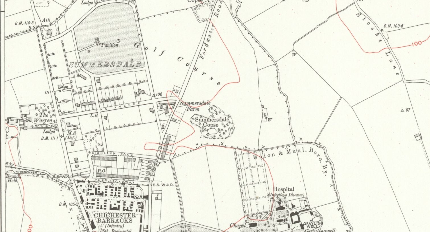
Brandy Hole Lane, a leafy and highly attractive rural lane on the
outskirts of the City, is residential with houses built both before and after
the Second World War. It is also an essential conduit to the Local Nature
Reserve and Centurion Way for the whole of Summersdale. To promote
and protect these valuable recreational facilities, any development
opportunity that may arise must be handled most sensitively.

Environmental Features

The only productive farm in Summersdale lies to the north-east astride
the River Lavant, but throughout the area, the established streets are
lined with mature trees and well-stocked gardens, which together support
a diverse range of wild life.

To the south of Brandy Hole Lane is a historic copse of some 15 acres,
mostly coppiced woodland, with part of it belonging to the Chichester
District Council and the rest to two local landowners. Since 2001 it has
enjoyed benefits as a Local Nature Reserve, with funding, clear highway
signage, and information displays.

The copse is home to a wide range of birds, mammals, insects and plant
life. The woodland is generally dominated by sweet chestnut coppice with
occasional oak and birch trees, the coppicing letting in the light for flowers
to flourish. Most of the oaks are English, but there are a few rarer sessile
oaks and hybrids.

12

Protected Pipistrelle, Daubentons, Natterers and Whiskered bats are
known to roost in the copse, and have also been reported in houses close
to the site. Moths and other insects include the endangered stag beetle,
hornets, the elephant hawk moth which feeds on the nectar of
honeysuckle, and several common butterflies. The unusual white admiral
has been seen in pairs on several occasions. Summer surveys have
recorded 16 species of birds, many nesting in the copse, while mammals
include mice, rats, voles, shrews, squirrels, rabbits, foxes and the
occasional deer.

The three ponds in the copse support their own variety of species and
marginal plant life, while an abundance of flowering plants can be seen
throughout the woods.

The copse can be both a playground and an educational facility. It is open
to the public at all times, with entrances at either end of Brandy Hole
Lane. It is a valuable and much valued facility close to Summersdale’s
historic core, but with an Iron Age and colourful recent history of its own.
Besides Centurion Way, Summersdale is blessed with immediate access to
a network of walks across fields and roads to the east and north where
the hills of The Trundle and Kingley Vale beckon. From these local beauty
spots 360 degree vistas reach the harbour and the sea, the Isle of Wight,
Bognor and Worthing, the Goodwood estate with its airfield and race
courses, and the beautiful areas of Sussex to the north. There is much to
lift the spirits and enjoy, both within Summersdale and the surrounding
countryside.

Random articles of interest

Doline – Chichester To Westbourne

Doline  – Chichester To Westbourne

doline

 Brandy Hole Lane, East Broyle Copse area in the northwest part of Chichester. A well-developed doline line extends east-west across the area to the north of Brandy Hole Lane, along the underlying Chalk-Reading Beds boundary.


The Environment Agency has made 1m-resolution LIDAR imagery coverage for large areas of England and Wales freely available on the internet under Open Government Licence (www.lidarfinder.com).

Read more: Doline – Chichester To Westbourne

An Archaeological Evaluation at Roussillon Barracks

An Archaeological Evaluation atRoussillon Barracks Chichester, West Sussex


Planning Reference No: CC/10/03490/FUL Phases 1a & 1b Project No: 4861 Site Code: RBC 11ASE Report No: 2011128 OASIS id: archaeol6-102472 By Diccon HartWith contributions by Sarah Porteus Illustrations by Fiona GriffinJune 2011


27 East street

MB
My mum worked 27 east street and when it flooded in the 90s they found a big cellar and you could look down into an area which was like a tunnel

Chichester Culverts

We do not suggest going into the culverts.
These are not classified as tunnels and can be dangerous

 video of culverts/storm drains/winterbourne route


Map of Chichester showing Rivers


www.streetmap.co.uk\\/map.srf?x=486359&y=104953&z=120&sv=chichester&st=3&tl=Map%20of%20Chichester%2C%20West%20Sussex%20[City%2FLarge%20Town]&searchp=ids.srf&mapp=map.srf&fbclid=IwAR2IV7YUeQ8u_GBTHRE24fSpUvVRwu5CpZxdPt1fs_injtw73WMxXbTQ25s

Architects concept plan - Graylingwell aerial designers dream

architects concept plan - graylingwell aerial designers dream. This vision is far from reality and some say even mention the trades description act.

Read more: Architects concept plan - Graylingwell aerial designers dream

peterborough tunnels

One of the most common questions I’m asked about Peterborough’s history is whether there are any tunnels under the city. Local legends say that there is a tunnel stretching from the Cathedral to Monk’s Cave at Longthorpe. Similar tunnels are alleged to stretch from the Cathedral to the abbeys at Thorney or Crowland.


These are familiar myths in many historic cities across the UK, mostly urban legends based on half remembrances of sewers, cellars or crawlspaces, coupled with wishful thinking and rumour.


The stories of tunnels from Peterborough to

Read more: peterborough tunnels

summeerdale football

summeerdale football ,I have an update on the old newspaper article relating to Summersdale and the tunnel found under a football pitch. I sent an email to the Summersdale Residents Association, and they were extremely helpful with one of the members being able to identify a location for the site of the pitch. Looking at some old maps and combining the documents from Liam Mandville
regarding subsidence etc. the area between The Avenue and Highland Road (on the Eastern side), does fit well as to the location. Many of the properties built on this site have substantial gardens so there may still be something to find that could explain what was found by the groundkeeper all those years ago? ,5f6f8e5fb6881-116345275_10157348686446892_326855352233187857_n.jpg,5f6f8e5fb7b45-116168775_10157348685396892_1033817068655264665_n.jpg

Read more: summeerdale football

Summersdale FOOTBALL FIELD SURPRISE

FOOTBALL FIELD SURPRISE.

A singular happening lay behind the prosaic news on saturday that the
chuichester and District League football fixture, Summersadale VS Boxgrove, had o be postponed
owing to the ground on this hill suburb of Chichester being unfit.

Read more: Summersdale FOOTBALL FIELD SURPRISE

Old Barracks / Wellington Grange

Old Barracks / Wellington Grange

Read more: Old Barracks / Wellington Grange

More In Articles