Summersdale lies to the north of significant development schemes
involving the re-generation of Graylingwell Hospital, Roussillon Barracks
and surplus NHS land at St Richards Hospital. The NE Chichester
Development Brief published by the Chichester District Council provided
detailed guidance for these areas, but they do not exist in isolation from
the rest of Summersdale and interaction is inevitable on issues such as
schooling, local transport, cycle and pedestrian paths, and integral
highway policies. The interests and concerns of local residents can be
expressed through a variety of channels including the SRA’s membership
of the NE Forum with its access to the landowners, developers and local
statutory bodies. Suffice to say there is a need now for harmony along
common borders, even if only from one side of a road to the other.
Within the historic core of Summersdale there are no sites currently
available for significant development, nor for sensible infilling, but
opportunities could arise from demolition of individual properties — or so
called garden grabbing on brownfield sites. ln-fills out of character that
destroy established street scenes, or sit uneasily in them, could also arise.
Such activities would generate fervent opposition from those dedicated to
conserving the character of Summersdale, and further strengthen a
growing resistance to the demolition of family homes and inappropriate
applications.
16
Delivering Development Opportunities (DDO)
Immediately to the north of Summersdale, outside the City''s northern
boundary and in the strategic Chichester-Lavant gap, lies Hunters Rest. It
is a former agricultural holding that was designated in the informal DDO
document as a reasonable development Option up to 2018 for a mix of
residential and business uses. The site was categorised as ‘not highly
visible and could accommodate residential development’ of up to 95
homes, but the local view is that it is a site of major significance to
Summersdale and the northern approach to the City. As such, it would
present a major challenge to the requirements of PPS3 for designs
sympathetic to local character and the adjacent historic suburb.
The DDO also listed No.18 Lavant Road as a windfall option for 11 homes
to 2018. With several Tree Preservation Orders on the site, a much lower
density of good quality detached houses with gardens would be more in
character with the surrounding area, and ensure that the impact on the
trees was mitigated.
Loss of Large Family Homes
In the following chapter a case is made for a policy of conservation and its
concomitant protection of Summersdale’s historic suburb. Of immediate
concern is the need to resist the demolition of individual family homes
with large gardens and their replacement with higher density
developments, thereby changing the character of the area for ever,
together with much of its history. Piecemeal development and minor
alteration can lead to a cumulative adverse effect on the appearance of
the street scene, with precedent invariably producing a domino effect.
Replacing gardens with concrete and hard-standings brings additional
problems to wild life and run-off drainage. On all accounts, the historic
suburb of Summersdale needs no re-generation per se, and market
demand for new homes should be met by the development of c.1400
homes on Graylingwell and the Barracks.
The proposal to transfer the Lavant Road Surgery from No.8 to a bespoke
PCT Health Care Centre on NHS land at St Richards risks demolition and
redevelopment of the current site. If allied to the potential plot at No.6,
the development opportunity for these important sites would be
significant, and present an enormous threat to the character of the area
comparable to that posed by the unsuccessful Sunrise application.
17
NE Chichester Greenfield Site
Random articles of interest
White Horse / Prezzo
Max T
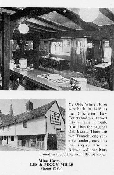
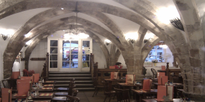
I recall that there is a short length of tunnel (blocked off at both ends) under the old White Horse pub in South St. (now Prezzo restaurant, since 2005). Story in the pub was that it was part of a tunnel running from the Cathedral up to the Guildhall in Priory Park. Although the tunnel is there, I was never sure of its true purpose or the truth of its start / finish. Thought that it was worth mentioning it on here though.
summeerdale football
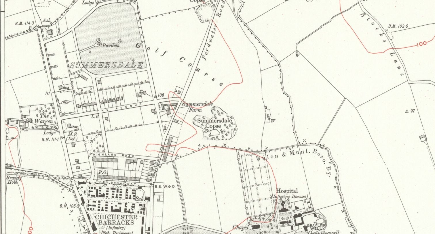
summeerdale football ,I have an update on the old newspaper article relating to Summersdale and the tunnel found under a football pitch. I sent an email to the Summersdale Residents Association, and they were extremely helpful with one of the members being able to identify a location for the site of the pitch. Looking at some old maps and combining the documents from Liam Mandville
regarding subsidence etc. the area between The Avenue and Highland Road (on the Eastern side), does fit well as to the location. Many of the properties built on this site have substantial gardens so there may still be something to find that could explain what was found by the groundkeeper all those years ago? ,5f6f8e5fb6881-116345275_10157348686446892_326855352233187857_n.jpg,5f6f8e5fb7b45-116168775_10157348685396892_1033817068655264665_n.jpg
st johns church
About 50 years ago in the vestry of St. John’s Church In Chichester a flag stone was taken up by some teenagers and a tunnel was revealed. Apparently it runs along under St Johns Street in a south / north direction
.MS
Archaeological Evaluation at Lower Graylingwell, Chichester
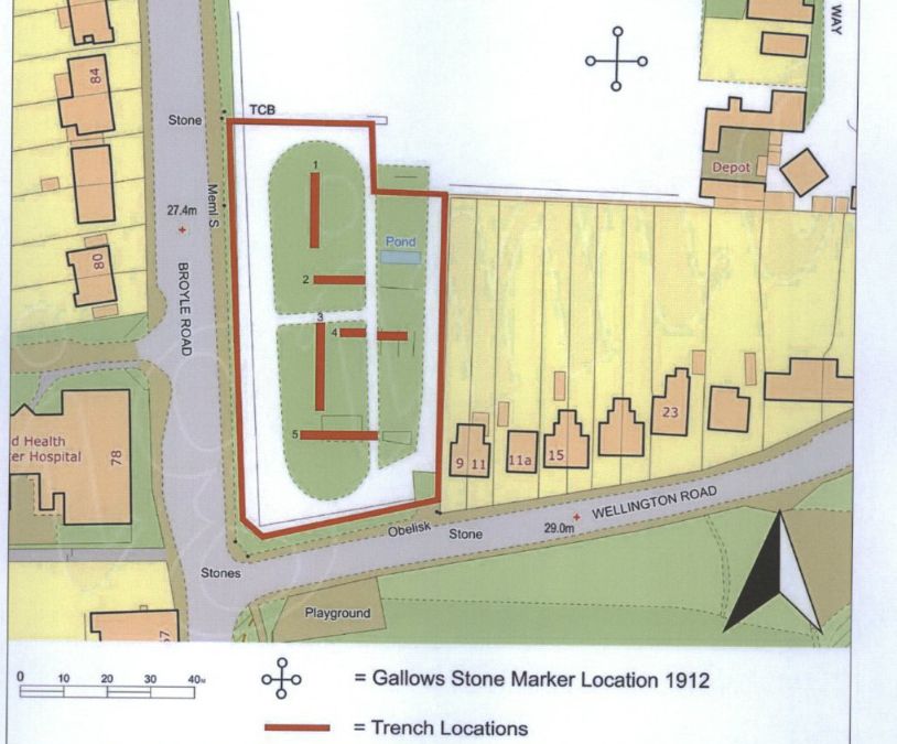
Archaeological and Historical Background
2.1.1 An Archaeological Desk-based Assessment was produced for the site in 2014 (AMEC 2015),
and a summary of the key findings are reproduced below.
2.1.2 A small Palaeolithic handaxe was found in an evaluation 150m east of the site. There are no
records of Mesolithic finds within 500m of the site.
2.1.3 Early Neolithic pits containing pottery and flintwork were found at Baxendale Avenue some 150m
south of the site, and four small pits, one containing later Neolithic pottery, during evaluation a
Read more: Archaeological Evaluation at Lower Graylingwell, Chichester
It was under the Crypt and right next to the cathedral
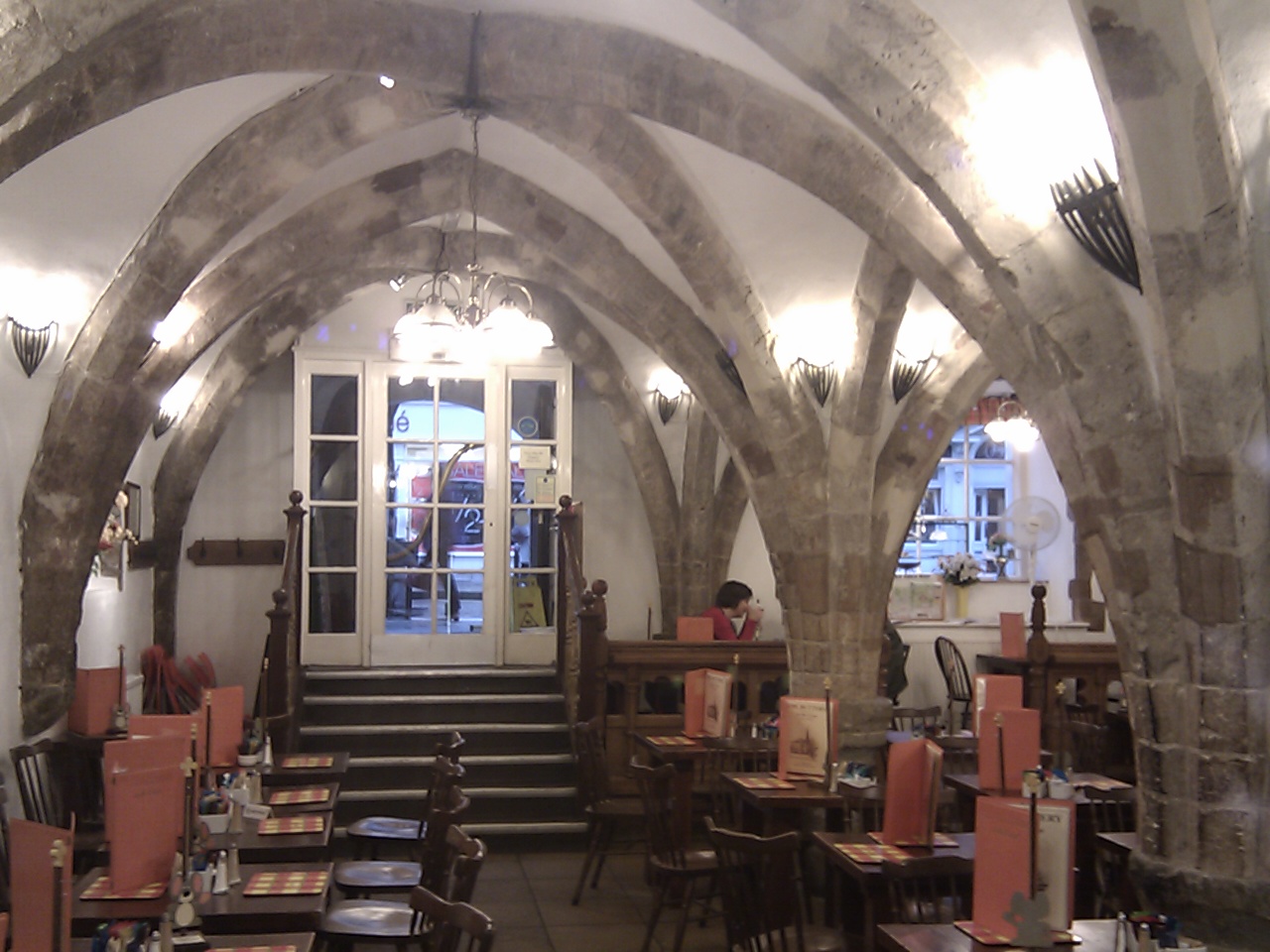
Maureen Williams, 82, of Westgate, recalled a school trip into the rumoured tunnels under Chichester when she was at Chichester High School for Girls.
She estimates she was in her early teens at the time and said she chose to share her memories after reading about the search for evidence in this newspaper.
Read more: It was under the Crypt and right next to the cathedral
whyke lodge
27 East street
MB
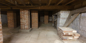
My mum worked 27 east street and when it flooded in the 90s they found a big cellar and you could look down into an area which was like a tunnel
Summersdale FOOTBALL FIELD SURPRISE
FOOTBALL FIELD SURPRISE.
A singular happening lay behind the prosaic news on saturday that the
chuichester and District League football fixture, Summersadale VS Boxgrove, had o be postponed
owing to the ground on this hill suburb of Chichester being unfit.
Doline – Chichester To Westbourne
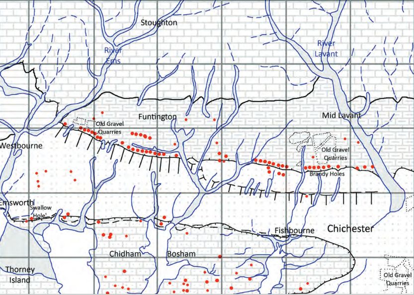
Brandy Hole Lane, East Broyle Copse area in the northwest part of Chichester. A well-developed doline line extends east-west across the area to the north of Brandy Hole Lane, along the underlying Chalk-Reading Beds boundary.
The Environment Agency has made 1m-resolution LIDAR imagery coverage for large areas of England and Wales freely available on the internet under Open Government Licence (www.lidarfinder.com).
