Doline  – Chichester To Westbourne

doline

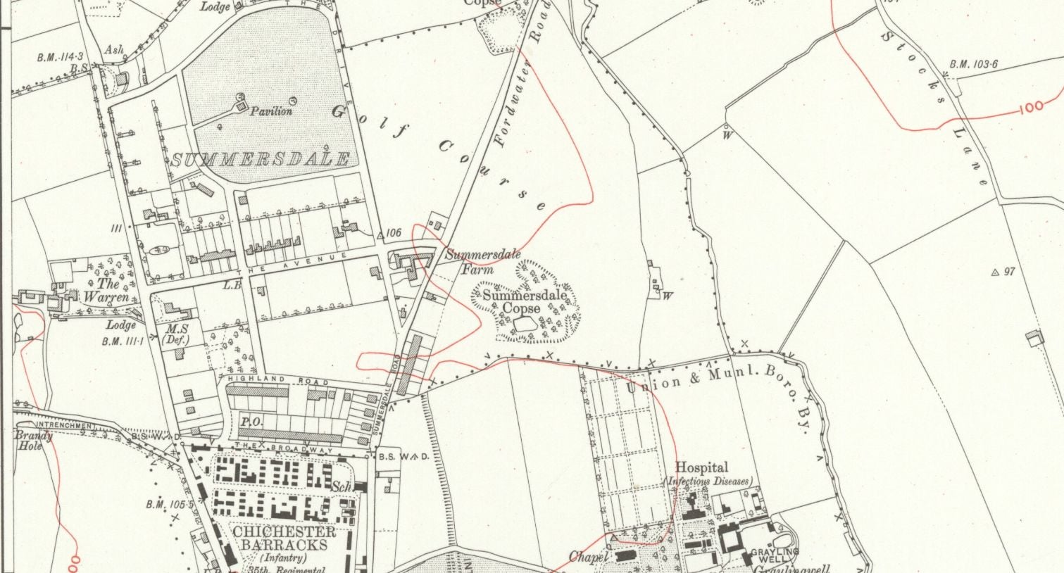
 Brandy Hole Lane, East Broyle Copse area in the northwest part of Chichester. A well-developed doline line extends east-west across the area to the north of Brandy Hole Lane, along the underlying Chalk-Reading Beds boundary.


The Environment Agency has made 1m-resolution LIDAR imagery coverage for large areas of England and Wales freely available on the internet under Open Government Licence (www.lidarfinder.com).

The map (Fig. 1) shows the solid and superficial geology together with the rivers and dry valleys of the area between Emsworth and Chichester. The geology is based on BGS mapping with further interpretation by the author using the LIDAR imagery. For instance the chalk outcrop along the Portsdown Anticline in the southern part of the map is readily identified even though it is covered with a mantle of raised beach and brickearth deposits, as it shows a mottled surface on the LIDAR imagery. Dolines have been identified as shallow depressions from 5 to 15m across in the ground surface.


West Sussex Geological Society

It is not certain why doline lines have formed along the
Chalk – Reading Formation boundary. A possible reason
is that the movement of groundwater passing southwards
from the chalk has been impeded by clay at the base of the
Reading Formation. This bed of clay possibly forms a slight
scarp buried beneath the overlying superficial deposits
(Cordiner 2019, Fig. 1), which allows groundwater to
infiltrate the underlying chalk along pre-existing fractures.
Over time downward movement of groundwater has been
concentrated at specific sites where chalk fractures have
been preferentially enlarged. With enlargement of the
fractures in the underlying chalk, superficial deposits have
been washed down into them, leaving a crater in the land
surface.


It is known
that smugglers in the 18th century used these caves to
hide brandy, a barrel of this spirit being discovered when
building the foundations for the Chichester-Midhurst
line, near where it crossed Brandy Hole Lane. It is known
that gravel was formerly dug in this area; the pond in
East Broyle Wood Nature Reserve being located in an
old quarry. These workings may even go back to Roman
times, as indicated on the 1898 O.S. map, as the nearby
‘Intrenchment‘ bank would have been a ready source of
flint gravel. It is possible that the Chichester Brandy Holes
and caves started out as sink holes, which were later further
excavated for flint gravel, and later further excavated by
smugglers.


Random articles of interest

Old Barracks / Wellington Grange

Old Barracks / Wellington Grange

Read more: Old Barracks / Wellington Grange

27 East street

MB
My mum worked 27 east street and when it flooded in the 90s they found a big cellar and you could look down into an area which was like a tunnel

Borehole drilling

borehole image

Borehole drilling is a technique that allows you to access underground water sources by creating a deep and narrow hole in the ground. In this blog post, we will explain what borehole drilling is, how it works, and what are its benefits and challenges.

What is borehole drilling?

Read more: Borehole drilling

Russilon Barracks

The Chichester SMR holds information for 48 sites, whilst the National Monuments Record
Centre holds details of a further 16 sites within the study area. An additional four sites were
located through analysis of historic mapping and during the course of the walkover survey and
one from aerial photographs. Full site descriptions and locations can be seen in Appendix B.
Within the report, the bracketed numbers after site descriptions relate to those allocated to
individual sites in Appendix B and on Figure 2.

Read more: Russilon Barracks

40 east street

EAST STREET No 40
SU 8604 NW 4/103
Grade II
C18. 3 storeys and attic. 2 windows. Red brick.

Panelled parapet hiding
dormers. Sash windows in reveals in flat arches; rubbed brick voussoirs; glazing bars missing in lower windows.

C20 plate glass shop front and fascia on ground floor.

Read more: 40 east street

tunnels underneath Hansford Menswear

A number of those readers remembered a story about tunnels underneath Hansford Menswear, also in South Street, so we spoke the shop's owner to find out more Matthew Hansford described a blocked-off passage in cellar of the shop, which he believes may have led to the cathedral

.

Read more: tunnels underneath Hansford Menswear

Why build a cellar

cellar image

First, there are no maps in the presentation to hidden tunnels , all information is in the public domain and if we get distracted during our searches that is only natural. 
I will try and make this as interesting as possible and we will not be getting our boots dirty.

Why have a cellar?
Having a cellar was actually quite an expensive and a time consuming affair. Most people didn't. There was no point unless there was something to store or servants to hide. 

Read more: Why build a cellar

65 East Street

DD
I worked at 65 East Street when it was ''Hammick''s Bookshop'' (now Specsavers). We had a trapdoor in the middle of the floor that led down to a tunnel-shaped cellar that seemed to extend through the front of the shop and under the pavement outside. I didn''t see any evidence of it ever having joined another tunnel and imagine that perhaps there was once an opening in the pavement for deliveries.

\r\n


An Archaeological Evaluation at Roussillon Barracks

An Archaeological Evaluation atRoussillon Barracks Chichester, West Sussex


Planning Reference No: CC/10/03490/FUL Phases 1a & 1b Project No: 4861 Site Code: RBC 11ASE Report No: 2011128 OASIS id: archaeol6-102472 By Diccon HartWith contributions by Sarah Porteus Illustrations by Fiona GriffinJune 2011


More In Articles